Two field systems.
One radiometric workflow.
A drone-borne gamma sensor for fast radiometric survey, and a portable gauge that reads soil bulk density in the field. Both run mDOS for live acquisition and export to the GammAn suite. Pick the system that matches your survey, then open its datasheet.
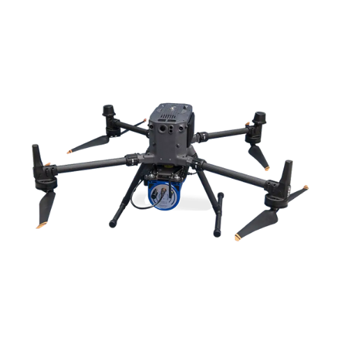
MS-350 Drone-Based System
A lightweight, full-spectrum gamma-ray sensor for hand-held and drone-borne survey. The MS-350 mounts to the DJI M250 RTK for flights up to 30 minutes, runs mDOS for live acquisition, and identifies gamma-emitting isotopes for radiometric mapping and radiation safety.
View the MS-350 datasheet →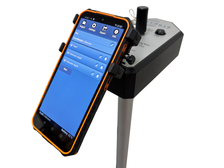
RhoC 5 Soil Bulk Density System
A portable system that reads soil bulk density in the field, without lab sampling. RhoC 5 pairs a rugged handheld controller with a probe for repeatable in-situ measurements, so agronomy, construction, and environmental teams can map density where they stand.
Also from BNC: for handheld isotope identification and gamma survey, see the SAM 940+ isotope identifier and the full radiation detection line.